

Enhancing spill response with real-time satellite surveillance
In collaboration with MacDonald, Dettwiler, and Associates Ltd (MDA Space), we provide access to advanced satellite imagery, including synthetic aperture radar (SAR) and optical data. This service supports real-time monitoring, historic data retrieval, and GIS-ready analysis to help our members gain a comprehensive understanding of any spill event.
With the ability to capture images in all weather conditions, day or night, using SAR satellite remote sensing offers an unparalleled strategic advantage in identifying oil on water, tracking vessel movements, and analysing environmental conditions. Our dedicated technical team ensures that every image is processed, analysed, and delivered in formats compatible with industry-standard GIS platforms, such as ArcGIS and Google Earth.
This service is available to our members as part of our commitment to enhancing spill response capabilities through cutting-edge technology.


Satellite imagery: a valuable tool for oil spill surveillance and monitoring
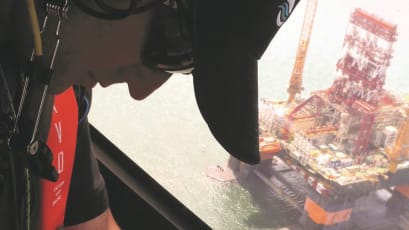
Surveillance is essential for situational awareness during an oil spill response. It combines traditional methods with modern technologies like uncrewed aerial vehicles and satellite remote sensing. Satellites are particularly valuable tools, providing wide-area, strategic data to support informed decision-making.
Satellite Remote Sensing FAQs
-
Yes, historical satellite imagery is available, subject to archive availability. Our team can request and analyse past images to support post-incident reviews or preparedness planning.
-
Yes, we offer scheduled monitoring at your preferred frequency—providing timely imagery to support ongoing situational awareness and preparedness.
-
No, these satellites follow fixed polar, sun-synchronous orbits. However, multiple satellites frequently revisit key locations worldwide.
-
Yes, all data is delivered in GIS-ready formats, including ArcGIS shapefiles, Google Earth KML/KMZ files, and GeoTIFF imagery.
-
Yes, our Technology Evolution Team is available to help integrate satellite intelligence into your Common Operating Picture (COP) and assist with data interpretation.

View our surveillance, modelling and visualisation articles

Satellite Imagery: A Valuable Tool For Oil Spill Surveillance and Monitoring
TPR Seminar Series - Part Two: Surveillance, Modelling and Visualisation

ATSEA-2 Webinar Series - Part 2: SMV & Response Strategies

Accessing these services is quick and straightforward.
As an OSRL member, we can guide you through the use of these services alongside your ongoing incident.
As part of your core membership coverage, you can use these services by calling the Duty Manager or contacting us for more information.
Simply fill in the form, and we'll get in contact with you.
If you would prefer to call us, please pick up the phone to speak with our Duty Manager. Please always call for instant technical advice on using your core membership coverage services.
We look forward to talking with you!
+44 (0)23 8033 1551
Regional numbers:
Asia Pacific
+65 6266 1566
Americas
+1 954 983 9880